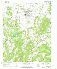
1970 Map of Prairie Grove
USGS Topo · Published 1972About this map
Prairie Grove Battlefield State Park anchors the northern portion of this Washington County landscape, preserving the site of the 1862 Civil War engagement just outside the town of Prairie Grove. The terrain transitions from the relatively flat valley of the Illinois River toward the south, where high ridges like Stevenson Mountain and the peak of Pinnacle overlook a network of creek hollows. This 1970 snapshot reveals a landscape deeply connected to its rural history, dotted with family-named burial grounds including Billingsley, Howell, and Rutherford. Small communities such as Hogeye and Hubbard appear along the roads, while the infrastructure of the era is evident in the Old Railroad Grade and the Lake Prairie Grove reservoir. Local life is centered around rural institutions like Illinois Chapel and the New Hope Community Hall.
Find a feature on this map
36 named features on this map. Tap any name to fly to it.
Don’t see what you’re looking for? This feature index may not catch every label — zoom into the map to look around manually.
Map Details
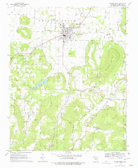
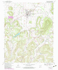
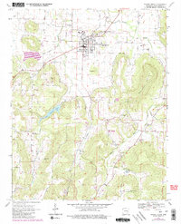
Editions of this 1970 Prairie Grove Map
4 editions found
Other maps of this area

1898 · Winslow
USGS Topo · 1:125,000

1899 · Fayetteville
USGS Topo · 1:125,000

1901 · Winslow
USGS Topo · 1:125,000

1901 · Fayetteville
USGS Topo · 1:125,000

1904 · Fayetteville
USGS Topo · 1:125,000

1946 · Fort Smith
USGS Topo · 1:250,000

1954 · Tulsa
USGS Topo · 1:250,000

1958 · Fayetteville
USGS Topo · 1:24,000

1958 · Tulsa
USGS Topo · 1:250,000

1963 · Tulsa
USGS Topo · 1:250,000