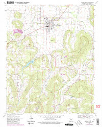
1970 Map of Prairie Grove
USGS Topo · Published 1983About this map
Prairie Grove Battlefield State Park sits at the northern edge of this 1970s landscape, marking the historic grounds where the town of Prairie Grove developed along an old Railroad Grade. This area of Washington County transitions from the residential streets of the town into a terrain of deeply cut creek valleys and high points like Pinnacle and Stevenson Mountain. The map reveals a dense network of early family history sites, including the Illinois Chapel Cem, Sharp Cem, and Rutherford Cem. Significant rural infrastructure is visible, from the Lake Prairie Grove reservoir to the isolated community halls and churches like New Sulphur Ch and New Hope Community Hall. Further south, the landscape is defined by the winding Illinois River and the small settlements of Hubbard and Hogeye, which maintain their identity through local landmarks like Big Spring and the minnow farm.
Find a feature on this map
37 named features on this map. Tap any name to fly to it.
Don’t see what you’re looking for? This feature index may not catch every label — zoom into the map to look around manually.
Map Details
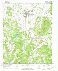
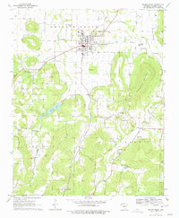
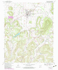
Editions of this 1970 Prairie Grove Map
4 editions found
Other maps of this area

1898 · Winslow
USGS Topo · 1:125,000

1899 · Fayetteville
USGS Topo · 1:125,000

1901 · Winslow
USGS Topo · 1:125,000

1901 · Fayetteville
USGS Topo · 1:125,000

1904 · Fayetteville
USGS Topo · 1:125,000

1946 · Fort Smith
USGS Topo · 1:250,000

1954 · Tulsa
USGS Topo · 1:250,000

1958 · Fayetteville
USGS Topo · 1:24,000

1958 · Tulsa
USGS Topo · 1:250,000

1963 · Tulsa
USGS Topo · 1:250,000