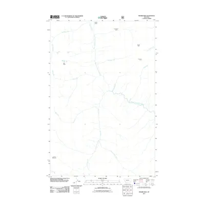
2011 Map of Prairie Reef
USGS Topo · Published 2011About this map
Prairie Reef Lookout stands as the central landmark in this high-altitude landscape within Lewis and Clark County, Montana. The terrain is defined by a network of drainage systems, most notably the West Fork South Fork Sun River, which gathers numerous tributaries as they descend from prominent heights. To the west, the topography rises toward Red Butte and the secluded Hermit Lake, while the southern reaches are anchored by Junction Mountain. The map illustrates a complex hydrography where names like Black Bear Creek, White Bear Creek, and Grizzly Gulch reflect the wild character of the region. This 2011 survey records the precise flow of the Ahorn Creek system, including its Lost Fork and East Fork, providing a clear look at the headwaters that shape this part of the Rocky Mountain Front.
Find a feature on this map
21 named features on this map. Tap any name to fly to it.
Don’t see what you’re looking for? This feature index may not catch every label — zoom into the map to look around manually.
Map Details
Editions of this 2011 Prairie Reef Map
This is the sole edition of this map. No revisions or reprints were ever made.
Other maps of this area

1902 · Ovando
USGS Topo · 1:125,000

1903 · Saypo
USGS Topo · 1:125,000

1903 · Coopers Lake
USGS Topo · 1:125,000

1905 · Ovando
USGS Topo · 1:125,000

1936 · Silvertip
USGS Topo · 1:96,000

1942 · Silvertip
USGS Topo · 1:125,000

1955 · Choteau
USGS Topo · 1:250,000

1957 · Choteau
USGS Topo · 1:250,000

1958 · Choteau
USGS Topo · 1:250,000

1958 · Glenn Creek
USGS Topo · 1:24,000