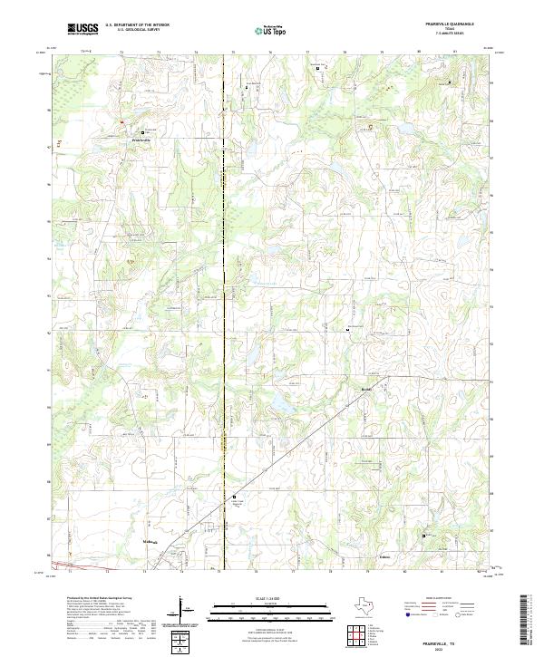
2022 Map of Prairieville
USGS Topo · Published 2022About this map
Prairieville and its surrounding rural landscapes are captured here along the Kaufman Co Van Zandt Co line. This region is defined by a dense network of creek systems, including the various branches of the Lacy Fork, Caney Cr, and Prairie Cr, which carve through the gently undulating terrain of Northeast Texas. The settlement pattern remains largely agricultural, connected by a web of Farm-to-Market roads like FM 90 and FM 47. Genealogists will find significant value in the distribution of family and community burial grounds scattered across the quadrangle, from the Aanonsen Cem in the north to the Baird Cem near Odom. The southern portion of the map transitions toward the growing community of Mabank, while the central areas near Richards Lake and Roddy retain a quieter, more dispersed character.
Find a feature on this map
112 named features on this map. Tap any name to fly to it.
Don’t see what you’re looking for? This feature index may not catch every label — zoom into the map to look around manually.
Map Details
Editions of this 2022 Prairieville Map
This is the sole edition of this map. No revisions or reprints were ever made.
Other maps of this area

1920 · Kemp
USGS Topo · 1:62,500

1948 · Martins Mill
USGS Topo · 1:62,500

1949 · Martins Mill
USGS Topo · 1:62,500

1954 · Dallas
USGS Topo · 1:250,000

1956 · Tyler
USGS Topo · 1:250,000

1957 · Kemp
USGS Topo · 1:62,500

1958 · Dallas
USGS Topo · 1:250,000

1960 · Tool
USGS Topo · 1:24,000

1960 · Mabank
USGS Topo · 1:24,000

1961 · Kemp
USGS Topo · 1:24,000