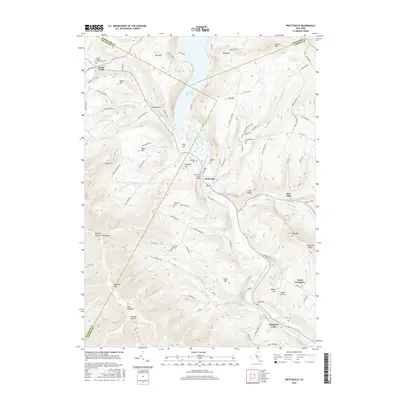
2016 Map of Prattsville
USGS Topo · Published 2016About this map
Prattsville sits at the convergence of several major watercourses, including the Schoharie Creek and the Batavia Kill, where the landscape is defined by the significant footprint of the Schoharie Reservoir. The area's settlement pattern follows these valleys, with hamlets like Red Falls and Grand Gorge positioned along the historical transit corridors that cut through the high elevations of Mt Royal and Bearpen Mtn. Evidence of early agricultural and community life is visible in the numerous small family and local burial grounds, such as the Rappelea Cem and Deyo Cem, which remain scattered across the hillsides.
Find a feature on this map
100 named features on this map. Tap any name to fly to it.
Don’t see what you’re looking for? This feature index may not catch every label — zoom into the map to look around manually.
Map Details
Editions of this 2016 Prattsville Map
This is the sole edition of this map. No revisions or reprints were ever made.
Other maps of this area

1900 · Phoenicia
USGS Topo · 1:62,500

1901 · Margaretville
USGS Topo · 1:62,500

1901 · Gilboa
USGS Topo · 1:62,500

1903 · Gilboa
USGS Topo · 1:62,500

1903 · Phoenicia
USGS Topo · 1:62,500

1904 · Hobart
USGS Topo · 1:62,500

1904 · Margaretville
USGS Topo · 1:62,500

1945 · West Kill
USGS Topo · 1:24,000

1945 · Gilboa
USGS Topo · 1:24,000

1945 · Fleischmanns
USGS Topo · 1:24,000