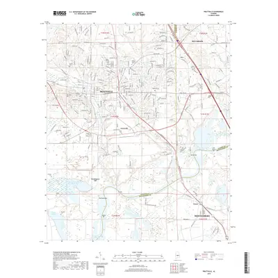
2018 Map of Prattville
USGS Topo · Published 2018About this map
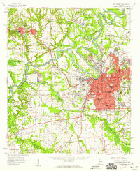
Autauga Creek defines the urban corridor of Prattville, where industry and local heritage converge near the prominent Gin Shop Hill. The landscape transitions from the developed neighborhoods of the north to the wide river bottomlands of the R E 'Bob' Woodruff Reservoir to the south. Numerous small family and community burial grounds, such as Daniel Pratt Cem and Doster Cem, are scattered throughout the quadrangle, offering significant genealogical value.
Find a feature on this map
58 named features on this map. Tap any name to fly to it.
Don’t see what you’re looking for? This feature index may not catch every label — zoom into the map to look around manually.
Map Details
Editions of this 2018 Prattville Map
This is the sole edition of this map. No revisions or reprints were ever made.
Other maps of this area

1891 · Clanton
USGS Topo · 1:125,000

1901 · Wetumpka
USGS Topo · 1:125,000

1903 · Wetumpka
USGS Topo · 1:125,000
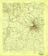
1927 · Montgomery
USGS Topo · 1:48,000
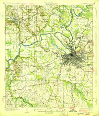
1930 · Montgomery
USGS Topo · 1:62,500

1953 · Montgomery
USGS Topo · 1:250,000

1956 · Montgomery
USGS Topo · 1:250,000

1957 · Montgomery
USGS Topo · 1:250,000
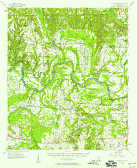
1957 · Autaugaville
USGS Topo · 1:62,500
1958 · Montgomery
USGS Topo · 1:62,500