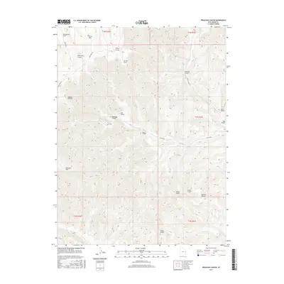
2017 Map of Preacher Canyon
USGS Topo · Published 2017About this map
Rock Spring Mesa and Cherry Mesa dominate the high-elevation northern boundary of this Grand County terrain. The landscape is defined by a dense network of drainage systems, including the namesake Preacher Canyon and the winding course of Westwater Cr. These waterways cut deep into the plateau, creating isolated landmarks such as Westwater Point and the aptly named Jumping Off Point. Transportation across this complex topography is limited to high-altitude routes like Moon Ridge Rd and Book Cliff Ridge Rd, which follow the natural contours of the ridges. The distribution of water sources like Rock Spring and Red Spring reveals the critical points of reliance for cattle or wildlife in an otherwise arid environment. This map captures the intricate relationship between the elevated mesas and the deep canyons that drain toward the Sulphur Cr basin.
Find a feature on this map
30 named features on this map. Tap any name to fly to it.
Don’t see what you’re looking for? This feature index may not catch every label — zoom into the map to look around manually.
Map Details
Editions of this 2017 Preacher Canyon Map
This is the sole edition of this map. No revisions or reprints were ever made.
Other maps of this area

1885 · East Tavaputs
USGS Topo · 1:250,000

1956 · Grand Junction
USGS Topo · 1:250,000

1959 · Grand Junction
USGS Topo · 1:250,000

1960 · Grand Junction
USGS Topo · 1:250,000

1962 · Grand Junction
USGS Topo · 1:250,000

1963 · Tenmile Canyon
USGS Topo · 1:62,500

1963 · Sego Canyon
USGS Topo · 1:62,500

1964 · Grand Junction
USGS Topo · 1:250,000

1965 · Grand Junction
USGS Topo · 1:250,000

1970 · Flume Canyon
USGS Topo · 1:24,000