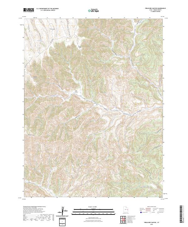
2023 Map of Preacher Canyon
USGS Topo · Published 2023About this map
Cherry Mesa and the surrounding high plateau dominate this portion of Grand County, where the landscape is defined by a complex network of drainage systems. Seasonal watercourses like Westwater Creek and Sulphur Creek have carved deep relief into the terrain, creating named features such as Preacher Canyon and Sulphur Canyon. The high-elevation points are marked by distinctive landmarks including Survey Point and the aptly named Jumping Off Point near the western edge. Transportation across this isolated region relies on ridge-running routes like Moon Ridge Rd and Book Cliff Ridge Rd, which trace the natural contours of the land. The presence of Well Hollow and Rock Spring suggests the critical importance of water sources in this arid upland environment, where the infrastructure is largely limited to these essential tracks and a single Pipeline Canyon.
Find a feature on this map
20 named features on this map. Tap any name to fly to it.
Don’t see what you’re looking for? This feature index may not catch every label — zoom into the map to look around manually.
Map Details
Editions of this 2023 Preacher Canyon Map
This is the sole edition of this map. No revisions or reprints were ever made.
Other maps of this area

1885 · East Tavaputs
USGS Topo · 1:250,000

1956 · Grand Junction
USGS Topo · 1:250,000

1959 · Grand Junction
USGS Topo · 1:250,000

1960 · Grand Junction
USGS Topo · 1:250,000

1962 · Grand Junction
USGS Topo · 1:250,000

1963 · Tenmile Canyon
USGS Topo · 1:62,500

1963 · Sego Canyon
USGS Topo · 1:62,500

1964 · Grand Junction
USGS Topo · 1:250,000

1965 · Grand Junction
USGS Topo · 1:250,000

1970 · Flume Canyon
USGS Topo · 1:24,000