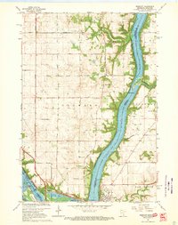
1967 Map of Prescott
USGS Topo · Published 1969About this map
Lake St Croix dominates this 1960s landscape, serving as the border between Washington County, Minnesota, and Pierce County, Wisconsin. Near the confluence where the Mississippi River meets the lake, the city of Prescott and the settlement of Point Douglas anchor the riverfront economy. The map details the complex shoreline of Elevator Bay and the Kinnickinnic Sandbar, showing how the water shaped local industry and transport.
Find a feature on this map
42 named features on this map. Tap any name to fly to it.
Don’t see what you’re looking for? This feature index may not catch every label — zoom into the map to look around manually.
Map Details
Editions of this 1967 Prescott Map
4 editions found
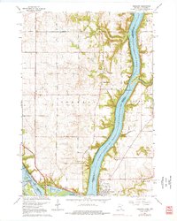
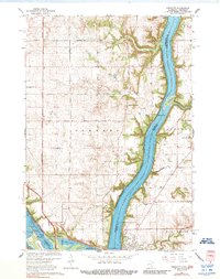
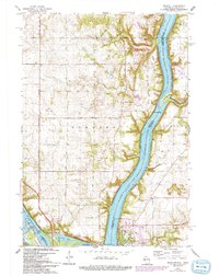
Other maps of this area

1944 · Red Wing
USGS Topo · 1:62,500

1946 · Hudson
USGS Topo · 1:62,500

1946 · River Falls
USGS Topo · 1:62,500

1949 · River Falls
USGS Topo · 1:62,500

1949 · Hudson
USGS Topo · 1:62,500

1949 · Lake Elmo
USGS Topo · 1:24,000

1949 · Hudson
USGS Topo · 1:24,000

1950 · Lake Elmo
USGS Topo · 1:24,000

1950 · Hudson
USGS Topo · 1:24,000

1950 · St Paul Park
USGS Topo · 1:24,000