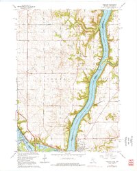
1967 Map of Prescott
USGS Topo · Published 1976About this map
The confluence of the Mississippi River and the Lake St Croix creates a dynamic landscape of river bluffs and bottomlands centered on the town of Prescott. This 1967 survey captures the area's transition from agricultural townships like Denmark and Afton to a growing riverfront community. The western bank at Point Douglas shows the convergence of the Chicago Milwaukee St Paul and Pacific and the Burlington and Quincy railroads, highlighting the region's historical importance as a transportation corridor. Cultural landmarks, including the Evergreen Cem and Leavitt Cem, are scattered across the plateau above the river. To the east, the Kinnickinnic River feeds into the St. Croix near the Kinnickinnic Sandbar, while distinctive terrain features like Starks Mound and Dills Mound rise above the surrounding fields of Clifton.
Find a feature on this map
35 named features on this map. Tap any name to fly to it.
Don’t see what you’re looking for? This feature index may not catch every label — zoom into the map to look around manually.
Map Details
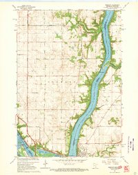
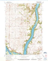
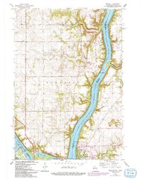
Editions of this 1967 Prescott Map
4 editions found
Other maps of this area

1944 · Red Wing
USGS Topo · 1:62,500

1946 · Hudson
USGS Topo · 1:62,500

1946 · River Falls
USGS Topo · 1:62,500

1949 · River Falls
USGS Topo · 1:62,500

1949 · Hudson
USGS Topo · 1:62,500

1949 · Lake Elmo
USGS Topo · 1:24,000

1949 · Hudson
USGS Topo · 1:24,000

1950 · Lake Elmo
USGS Topo · 1:24,000

1950 · Hudson
USGS Topo · 1:24,000

1950 · St Paul Park
USGS Topo · 1:24,000