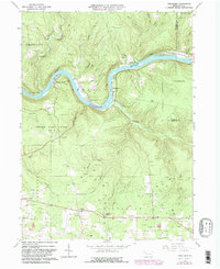
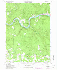
1963 Map of President
USGS Topo · Published 1982About this map
The Allegheny River carves a deep winding path through this portion of Venango and Forest counties, where the industrial legacy of the Pennsylvania oil region is etched into the landscape. By the early 1960s, the terrain was densely populated with Oil Wells and active Oil Field operations, particularly near the small settlements of Oleopolis and Henrys Bend. These riverside communities, along with Eagle Rock and Baum, illustrate a historical pattern of settlement tied directly to the river’s navigation and the subsequent petroleum boom.
Find a feature on this map
51 named features on this map. Tap any name to fly to it.
Don’t see what you’re looking for? This feature index may not catch every label — zoom into the map to look around manually.
Map Details
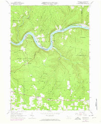
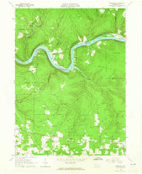
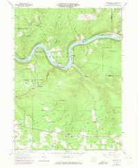
Editions of this 1963 President Map
5 editions found
Other maps of this area

1922 · Oil City
USGS Topo · 1:48,000

1922 · Tionesta
USGS Topo · 1:62,500

1924 · Oil City
USGS Topo · 1:62,500

1924 · Tionesta
USGS Topo · 1:62,500

1927 · Tidioute
USGS Topo · 1:48,000

1927 · Titusville
USGS Topo · 1:62,500

1930 · Tidioute
USGS Topo · 1:62,500

1933 · Titusville
USGS Topo · 1:62,500

1943 · Oil City
USGS Topo · 1:62,500

1946 · Tionesta
USGS Topo · 1:62,500
Featured Places
- Cranberry Township, PA
- President Township, PA
- Cornplanter Township, PA
- Sadlers Corner, Cranberry Township
- Eagle Rock, President Township