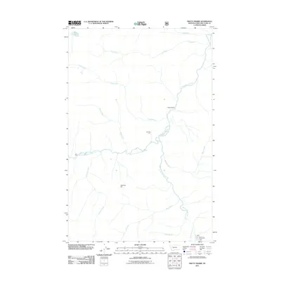
2011 Map of Pretty Prairie
USGS Topo · Published 2011About this map
Pretty Prairie and the surrounding wilderness of Lewis and Clark County are defined by the convergence of the South Fork Sun River and its numerous high-country tributaries. In the early 21st century, this area remains a landscape of seasonal outposts and vital water resources. The terrain is marked by distinctive landmarks such as Deadman Hill and the West Fork Licks, which indicate a natural environment relatively undisturbed by major development.
Find a feature on this map
17 named features on this map. Tap any name to fly to it.
Don’t see what you’re looking for? This feature index may not catch every label — zoom into the map to look around manually.
Map Details
Editions of this 2011 Pretty Prairie Map
This is the sole edition of this map. No revisions or reprints were ever made.
Other maps of this area

1902 · Ovando
USGS Topo · 1:125,000

1903 · Saypo
USGS Topo · 1:125,000

1903 · Coopers Lake
USGS Topo · 1:125,000

1905 · Ovando
USGS Topo · 1:125,000

1936 · Silvertip
USGS Topo · 1:96,000

1942 · Silvertip
USGS Topo · 1:125,000

1955 · Choteau
USGS Topo · 1:250,000

1957 · Choteau
USGS Topo · 1:250,000

1958 · Choteau
USGS Topo · 1:250,000

1958 · Glenn Creek
USGS Topo · 1:24,000