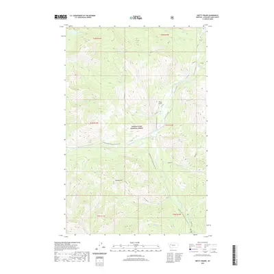
2020 Map of Pretty Prairie
USGS Topo · Published 2020About this map
Lewis & Clark National Forest encompasses this wilderness region of Lewis and Clark County, where the hydrological divide is defined by the South Fork Sun River and its major tributaries. The settlement at Pretty Prairie serves as a central landmark amidst a complex drainage network that includes West Fork South Fork Sun River, Prairie Cr, and Windfall Cr. This 2020 survey illustrates the modern management of these public lands through designated routes like the P Prairie Admin Connector and the prominent Continental Divide National Scenic Trail.
Find a feature on this map
28 named features on this map. Tap any name to fly to it.
Don’t see what you’re looking for? This feature index may not catch every label — zoom into the map to look around manually.
Map Details
Editions of this 2020 Pretty Prairie Map
This is the sole edition of this map. No revisions or reprints were ever made.
Other maps of this area

1902 · Ovando
USGS Topo · 1:125,000

1903 · Saypo
USGS Topo · 1:125,000

1903 · Coopers Lake
USGS Topo · 1:125,000

1905 · Ovando
USGS Topo · 1:125,000

1936 · Silvertip
USGS Topo · 1:96,000

1942 · Silvertip
USGS Topo · 1:125,000

1955 · Choteau
USGS Topo · 1:250,000

1957 · Choteau
USGS Topo · 1:250,000

1958 · Choteau
USGS Topo · 1:250,000

1958 · Glenn Creek
USGS Topo · 1:24,000