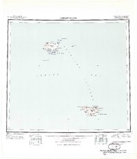
1949 Map of Pribilof Islands
USGS Topo · Published 1949About this map
St. Paul Island and St. George Island appear in sharp relief against the Bering Sea in this mid-century reconnaissance study. The map detail highlights the specific settlements of St Paul and St. George, which serve as the primary hubs for these remote volcanic outposts. On St. Paul Island, the proximity of Village Cove to English Bay and Lukanin Bay illustrates the critical role of coastal geography for the local community and maritime activities. Notable smaller landforms like Sea Lion Rock, Walrus Island, and Otter Island are documented, which are significant for their unique wildlife and ecological history. The inland terrain features numerous small lakes such as Atka L, Bear L, and Antones L, alongside prominent peaks like Bogoslof Hill and Ulakaia Hill. This survey, compiled from hydrographic and Treasury Department charts, preserves the nomenclature of points and bluffs used by navigators, including High Bluffs and Cascade Pt.
Find a feature on this map
47 named features on this map. Tap any name to fly to it.
Don’t see what you’re looking for? This feature index may not catch every label — zoom into the map to look around manually.
Map Details
Editions of this 1949 Pribilof Islands Map
2 editions found
Other maps of this area
1948 · Pribilof Islands
USGS Topo · 1:250,000
1958 · Pribilof Islands
USGS Topo · 1:250,000
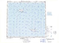
1969 · Pribilof Islands
USGS Topo · 1:250,000
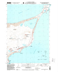
2001 · Saint Paul Island East
USGS Topo · 1:25,000
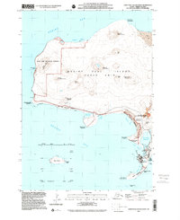
2001 · Saint Paul Island West
USGS Topo · 1:25,000
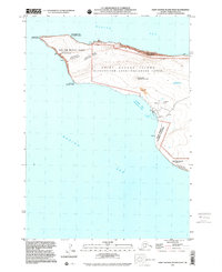
2001 · Saint George Island West
USGS Topo · 1:25,000
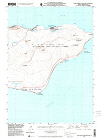
2001 · Saint George Island East
USGS Topo · 1:25,000
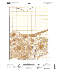
2020 · Pribilof Islands D-4 SW
USGS Topo · 1:25,000
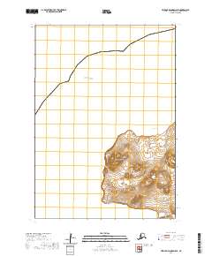
2020 · Pribilof Islands D-5 SE
USGS Topo · 1:25,000
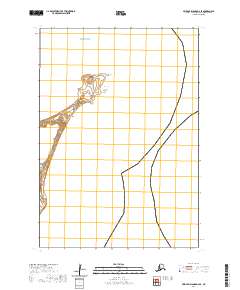
2020 · Pribilof Islands D-4 SE
USGS Topo · 1:25,000