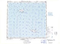
1969 Map of Pribilof Islands
USGS Topo · Published 1969About this map
St. Paul Island and St. George Island emerge from the Bering Sea in this late-1960s survey, representing the primary landmasses of the Pribilof archipelago. The map documents the localized human footprint at St Paul near Village Cove and St. George on the north coast of its namesake island. These remote outposts were crucial for the maritime economy and wildlife management, specifically the northern fur seal trade.
Find a feature on this map
51 named features on this map. Tap any name to fly to it.
Don’t see what you’re looking for? This feature index may not catch every label — zoom into the map to look around manually.
Map Details
Editions of this 1969 Pribilof Islands Map
This is the sole edition of this map. No revisions or reprints were ever made.
Other maps of this area
1948 · Pribilof Islands
USGS Topo · 1:250,000
1949 · Pribilof Islands
USGS Topo · 1:250,000
1958 · Pribilof Islands
USGS Topo · 1:250,000
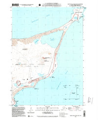
2001 · Saint Paul Island East
USGS Topo · 1:25,000
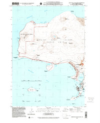
2001 · Saint Paul Island West
USGS Topo · 1:25,000
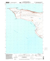
2001 · Saint George Island West
USGS Topo · 1:25,000
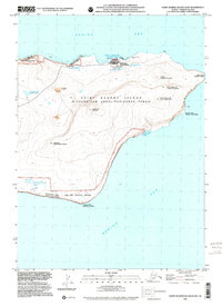
2001 · Saint George Island East
USGS Topo · 1:25,000
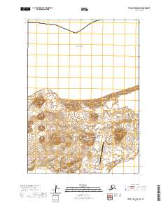
2020 · Pribilof Islands D-4 SW
USGS Topo · 1:25,000
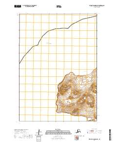
2020 · Pribilof Islands D-5 SE
USGS Topo · 1:25,000
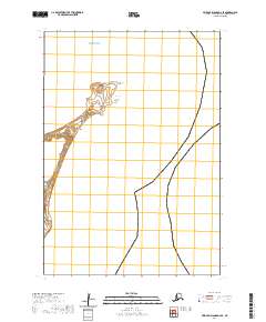
2020 · Pribilof Islands D-4 SE
USGS Topo · 1:25,000