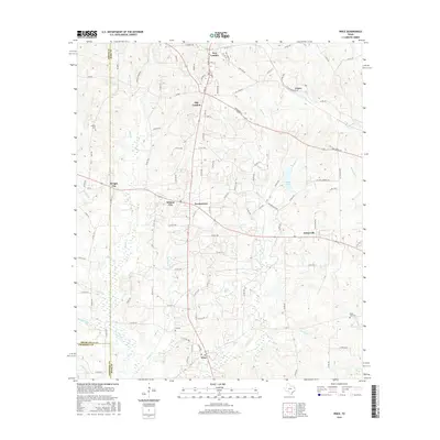
2016 Map of Price
USGS Topo · Published 2016About this map
New London and the surrounding Rusk County landscape are defined by a dense network of county roads and historic oil-related settlements. The map illustrates a high density of small communities including Old London, Turnertown, and Selman City, reflecting the area's development during the East Texas oil boom. The terrain is deeply etched by a complex drainage system, where Boules Cr and Johnson Cr wind through the hills, creating a fragmented landscape of small ridges and creek bottoms.
Find a feature on this map
112 named features on this map. Tap any name to fly to it.
Don’t see what you’re looking for? This feature index may not catch every label — zoom into the map to look around manually.
Map Details
Editions of this 2016 Price Map
This is the sole edition of this map. No revisions or reprints were ever made.
Other maps of this area

1935 · Henderson
USGS Topo · 1:48,000

1936 · Kilgore
USGS Topo · 1:48,000

1937 · Troupe
USGS Topo · 1:48,000

1938 · Winona
USGS Topo · 1:48,000

1939 · Henderson
USGS Topo · 1:62,500

1940 · Kilgore
USGS Topo · 1:62,500

1943 · Troup
USGS Topo · 1:62,500

1943 · Winona
USGS Topo · 1:62,500

1956 · Tyler
USGS Topo · 1:250,000

1966 · Hope Pond
USGS Topo · 1:24,000