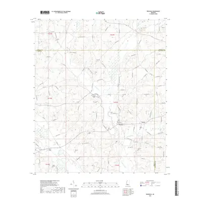
2018 Map of Pricedale
USGS Topo · Published 2018About this map
Pricedale lies at the heart of this rural landscape where the tributaries of Topisaw Creek weave through southern Mississippi. The settlement pattern is defined by a dense network of family-named roads and landmarks, reflecting generations of land ownership across the Pike, Lincoln, and Walthall county lines. Religious and community life is anchored by numerous burial sites such as the Bogue Chitto Cem and Labon Bacot Cem, alongside the John Felder Memorial Park. The area's hydrology is dominated by the Bogue Chitto river and branches like Greer Br and W Topisaw Cr. Engineering features like Quinns Bridge provide critical crossings in a terrain heavily marked by creek bottoms and small drainages, illustrating the persistent rural character of this region in the late 20th and early 21st centuries.
Find a feature on this map
94 named features on this map. Tap any name to fly to it.
Don’t see what you’re looking for? This feature index may not catch every label — zoom into the map to look around manually.
Map Details
Editions of this 2018 Pricedale Map
This is the sole edition of this map. No revisions or reprints were ever made.
Other maps of this area

1953 · Natchez
USGS Topo · 1:250,000

1956 · Natchez
USGS Topo · 1:250,000

1959 · Natchez
USGS Topo · 1:250,000

1970 · Mesa
USGS Topo · 1:24,000

1970 · Topeka
USGS Topo · 1:24,000

1970 · Jayess
USGS Topo · 1:24,000

1972 · Ruth
USGS Topo · 1:24,000

1972 · Pricedale
USGS Topo · 1:24,000

1972 · Bogue Chitto
USGS Topo · 1:24,000

1972 · McComb South
USGS Topo · 1:24,000