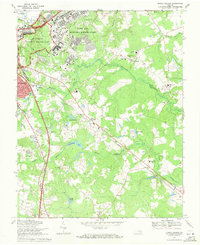
1969 Map of Prince George
USGS Topo · Published 1971About this map
Petersburg National Military Park and its preserved defensive earthworks dominate the western edge of this 1969 landscape, where the historical siege lines of Petersburg meet the developing suburbs of Prince George County. The map reveals a transition from the structured grid of the Fort Lee Military Reservation, featuring Kenner Army Hospital and extensive military infrastructure, to the more dispersed rural settlements of New Bohemia and Prince George. These communities are connected by the Norfolk and Western railroad and defined by the meandering courses of Blackwater Swamp and Second Swamp. Genealogists and local researchers will find significant detail in the numerous country churches and schools, such as Gregory Memorial Chapel, Sacred Heart Ch, and the Prince George High Sch, alongside landmarks like the Petersburg Jail Farm and the Southlawn Memorial Park Cemetery.
Find a feature on this map
38 named features on this map. Tap any name to fly to it.
Don’t see what you’re looking for? This feature index may not catch every label — zoom into the map to look around manually.
Map Details
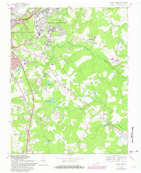
Editions of this 1969 Prince George Map
2 editions found
Other maps of this area

1894 · Bermuda Hundred
USGS Topo · 1:62,500

1894 · Petersburg
USGS Topo · 1:62,500

1918 · Charles City
USGS Topo · 1:62,500

1919 · Disputanta
USGS Topo · 1:62,500

1943 · Hopewell
USGS Topo · 1:31,680

1943 · Disputanta
USGS Topo · 1:31,680

1943 · Richmond
USGS Topo · 1:250,000

1944 · Reams
USGS Topo · 1:31,680
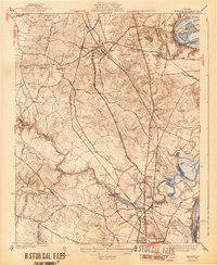
1944 · Chester
USGS Topo · 1:31,680
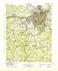
1944 · Petersburg
USGS Topo · 1:31,680