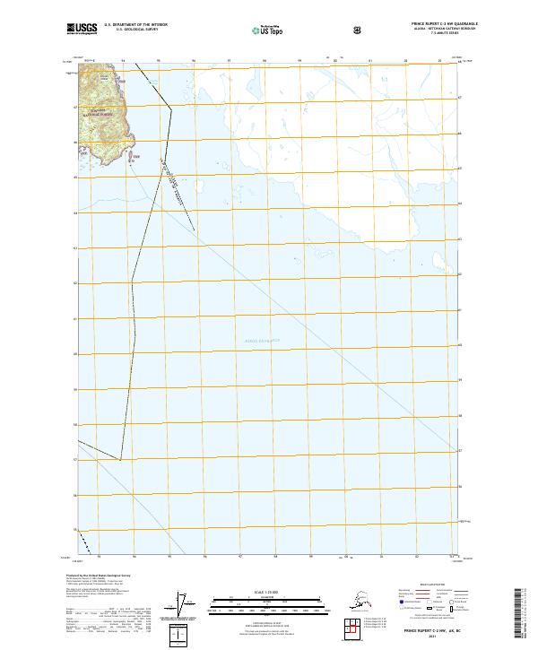
2021 Map of Prince Rupert C-2 NW
USGS Topo · Published 2021About this map
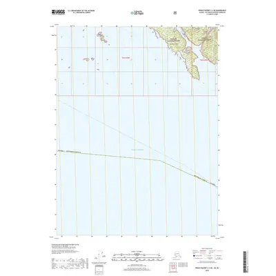
Sitklan Island defines the northwestern corner of this maritime map, situated within the protected boundaries of the Tongass National Forest. The island's topography is marked by significant elevation changes, separated from the mainland by the waters of the Tongass Passage. This survey captures a remote segment of the international border between the Canada and United States of America, as the boundary line cuts southeast across the Dixon Entrance. The cartography emphasizes the intersection of federal forest lands and the complex maritime approaches along the Alaskan coastline, where public land systems like t82s r99e interface with the open sea.
Find a feature on this map
7 named features on this map. Tap any name to fly to it.
Don’t see what you’re looking for? This feature index may not catch every label — zoom into the map to look around manually.
Map Details
Editions of this 2021 Prince Rupert C-2 NW Map
This is the sole edition of this map. No revisions or reprints were ever made.
Other maps of this area

1951 · Prince Rupert
USGS Topo · 1:250,000

1955 · Prince Rupert D-3
USGS Topo · 1:63,360

1955 · Prince Rupert D-2
USGS Topo · 1:63,360
1958 · Prince Rupert C-2 and C-3
USGS Topo · 1:63,360

1959 · Prince Rupert
USGS Topo · 1:250,000

1964 · Prince Rupert
USGS Topo · 1:250,000
2018 · Prince Rupert C-2 NW
USGS Topo · 1:25,000
2018 · Prince Rupert D-2 SE
USGS Topo · 1:25,000
2018 · Prince Rupert C-3 NE
USGS Topo · 1:25,000
2018 · Prince Rupert D-3 SE
USGS Topo · 1:25,000