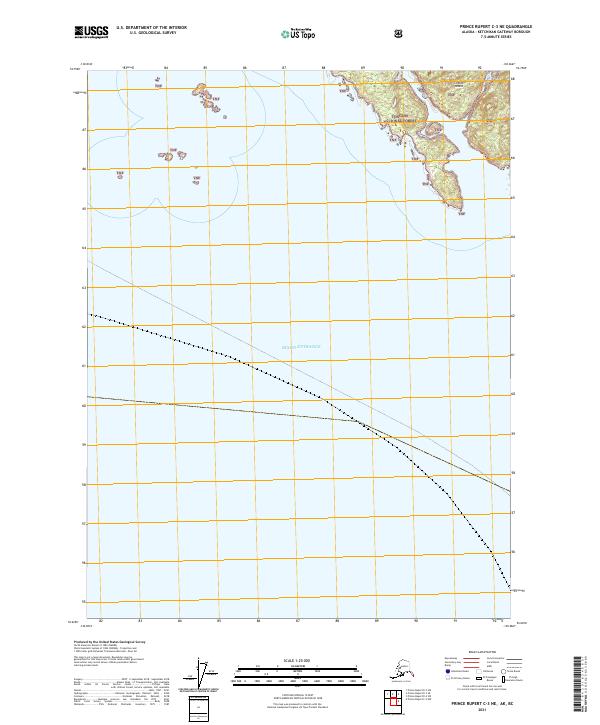
2021 Map of Prince Rupert C-3 NE
USGS Topo · Published 2021About this map
Sitklan Island sits at the northern edge of this maritime map, representing a rugged piece of the Tongass National Forest where the Alaskan panhandle meets the open sea. The majority of the area is dominated by the waters of the Dixon Entrance, a vital international strait that serves as a primary marine boundary between Alaska and British Columbia. This survey details the intricate shoreline and surrounding islets of the larger landmass, which remains largely undeveloped and preserved within the national forest system. Because the map covers a border region, it illustrates the exact coastal transitions and maritime limits within the Tongass National Forest during the early twenty-first century, providing a clear record of the natural topography before any significant modern navigational or coastal changes.
Find a feature on this map
6 named features on this map. Tap any name to fly to it.
Don’t see what you’re looking for? This feature index may not catch every label — zoom into the map to look around manually.
Map Details
Editions of this 2021 Prince Rupert C-3 NE Map
This is the sole edition of this map. No revisions or reprints were ever made.
Other maps of this area

1951 · Prince Rupert
USGS Topo · 1:250,000

1955 · Prince Rupert D-3
USGS Topo · 1:63,360

1955 · Prince Rupert D-2
USGS Topo · 1:63,360
1958 · Prince Rupert C-2 and C-3
USGS Topo · 1:63,360

1959 · Prince Rupert
USGS Topo · 1:250,000

1964 · Prince Rupert
USGS Topo · 1:250,000
2018 · Prince Rupert C-2 NW
USGS Topo · 1:25,000
2018 · Prince Rupert D-3 SW
USGS Topo · 1:25,000
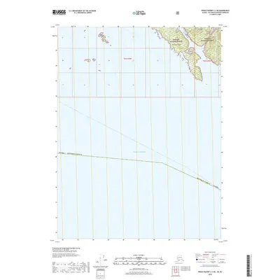
2018 · Prince Rupert C-3 NE
USGS Topo · 1:25,000
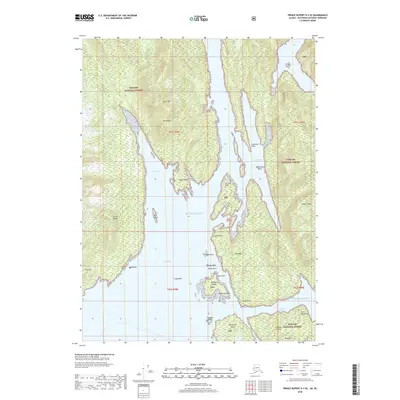
2018 · Prince Rupert D-3 SE
USGS Topo · 1:25,000