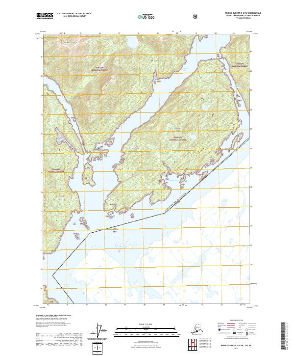
2021 Map of Prince Rupert D-2 SW
USGS Topo · Published 2021About this map
Fillmore Island and its surrounding waterways dominate this coastal survey along the international maritime border between the United States and Canada. The landscape is defined by the steep elevations of Nakat Mtn and the long spines of Loaf Ridge and Harbor Ridge, all contained within the protected boundaries of the Tongass National Forest. The complex shoreline includes the narrow Fillmore Inlet and the southern reaches of Edward Passage, providing a detailed look at the island-and-channel geography south of Ketchikan. The presence of smaller features like Just Island, Male Point, and Regina Cove illustrates the intricate nautical environment and landforms that shaped navigation and resource management in this remote stretch of the Alaska Panhandle.
Find a feature on this map
16 named features on this map. Tap any name to fly to it.
Don’t see what you’re looking for? This feature index may not catch every label — zoom into the map to look around manually.
Map Details
Editions of this 2021 Prince Rupert D-2 SW Map
This is the sole edition of this map. No revisions or reprints were ever made.
Other maps of this area

1951 · Prince Rupert
USGS Topo · 1:250,000

1955 · Prince Rupert D-3
USGS Topo · 1:63,360

1955 · Prince Rupert D-2
USGS Topo · 1:63,360
1958 · Prince Rupert C-2 and C-3
USGS Topo · 1:63,360

1959 · Prince Rupert
USGS Topo · 1:250,000

1964 · Prince Rupert
USGS Topo · 1:250,000
2018 · Prince Rupert C-2 NW
USGS Topo · 1:25,000
2018 · Prince Rupert D-2 SE
USGS Topo · 1:25,000
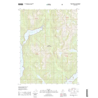
2018 · Prince Rupert D-2 NW
USGS Topo · 1:25,000
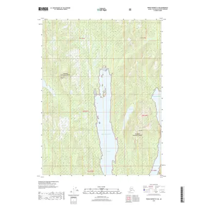
2018 · Prince Rupert D-3 NE
USGS Topo · 1:25,000