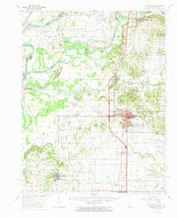
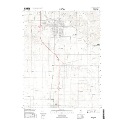
1959 Map of Princeton
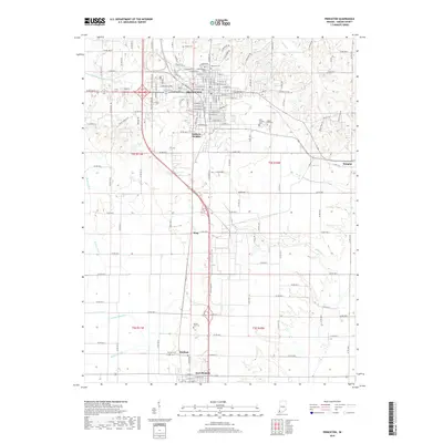
USGS Topo · Published 1989About this map
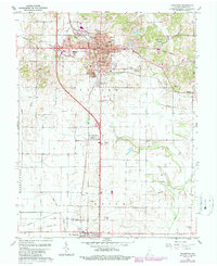
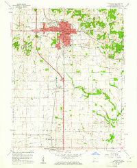
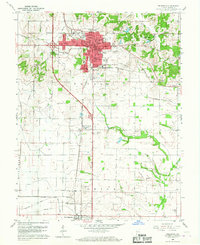
The Old Indian Treaty Boundary slices diagonally across this portion of Gibson County, cutting through the residential heart of Princeton just north of the Courthouse. This late-1950s record of the area shows a town structured by its heritage and industry, where the Southern railroad line supports an Oil Refinery and a Substation near the small settlement of King. Residential life is clustered around historic institutions like Riley Sch, Lafayette Sch, and the St Josephs Ch complex. To the south, Fort Branch sits along the southern edge of the quadrangle, while the landscape between the towns is marked by rural landmarks including the Drive-in Theater and the County Fairgrounds. Water management is evident through a network of engineered features such as Brown Ditch and Old Ditch, which navigate the terrain toward Pigeon Creek.
Find a feature on this map
62 named features on this map. Tap any name to fly to it.
Don’t see what you’re looking for? This feature index may not catch every label — zoom into the map to look around manually.
Map Details
Editions of this 1959 Princeton Map
4 editions found

Historical Maps of Princeton Through Time
10 maps found

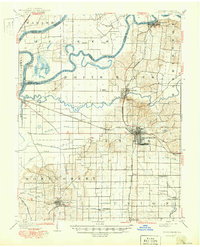
1901 Princeton
Gibson County, IN
1903 Princeton
Gibson County, IN
1959 Princeton
Gibson County, IN
1959 Princeton
Gibson County, IN
1986 Princeton
Gibson County, IN
2010 Princeton
Gibson County, IN
2013 Princeton
Gibson County, IN
2016 Princeton
Gibson County, IN
2019 Princeton
Gibson County, IN
2022 Princeton
Gibson County, IN