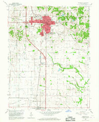
1959 Map of Princeton
USGS Topo · Published 1967About this map
Princeton serves as the bustling hub of Gibson County in the late 1950s, its street grid anchored by the Courthouse and City Hall. The landscape is a detailed map of mid-century infrastructure and civic life, from the County Fairgrounds on the north side to the industrial footprint of an Oil Refinery near King. Rail transit remains vital to the local economy, with the Southern and Chicago and Eastern Illinois lines intersecting the territory, facilitating the movement of goods through the Indiana countryside.
Find a feature on this map
71 named features on this map. Tap any name to fly to it.
Don’t see what you’re looking for? This feature index may not catch every label — zoom into the map to look around manually.
Map Details
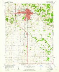
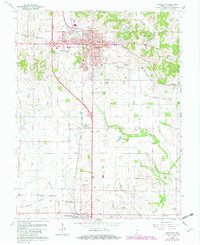
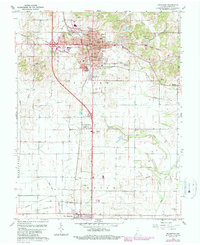
Editions of this 1959 Princeton Map
4 editions found
Other maps of this area

1901 · Princeton
USGS Topo · 1:62,500

1901 · Haubstadt
USGS Topo · 1:62,500

1902 · Ditney
USGS Topo · 1:125,000

1902 · Boonville
USGS Topo · 1:62,500

1903 · Haubstadt
USGS Topo · 1:62,500

1903 · Petersburg
USGS Topo · 1:62,500

1903 · Princeton
USGS Topo · 1:62,500

1903 · Patoka
USGS Topo · 1:125,000

1956 · Vincennes
USGS Topo · 1:250,000

1957 · Vincennes
USGS Topo · 1:250,000