
1960 Map of Pritchett
USGS Topo · Published 1961About this map
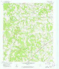
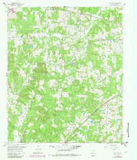
Pritchett and the surrounding Upshur County landscape appear in 1960 as a mosaic of woodlots and small agricultural clearings, anchored by the St Louis Southwestern railroad cutting through the southeastern corner. This area is defined by a high density of rural religious and community centers, including Johnson Chapel, Oak Grove Ch, and New Hope Ch, often located near family-named landmarks like Peter Haynes Hill. The settlement pattern follows the drainage of numerous small waterways such as Glade Creek and Kelsey Creek, where clusters of homes and churches formed at crossroad hamlets like Latch and Enoch. For genealogists, the proximity of Kelsey Cem to the Kelsey settlement and the New Hope Cem provides specific burial locations tied to these mid-century communities. The presence of Gravel Pits and a Landing Strip near the rail line indicates the localized industry and transit supporting these East Texas townships.
Find a feature on this map
31 named features on this map. Tap any name to fly to it.
Don’t see what you’re looking for? This feature index may not catch every label — zoom into the map to look around manually.
Map Details
Editions of this 1960 Pritchett Map
3 editions found
Other maps of this area

1956 · Tyler
USGS Topo · 1:250,000

1960 · Shady Grove
USGS Topo · 1:24,000

1960 · Hawkins
USGS Topo · 1:24,000

1960 · Big Sandy
USGS Topo · 1:24,000

1960 · Bettie
USGS Topo · 1:24,000

1960 · Gilmer
USGS Topo · 1:24,000

1960 · Thomas
USGS Topo · 1:24,000

1960 · Rhonesboro
USGS Topo · 1:24,000

1960 · Gladewater
USGS Topo · 1:24,000

1984 · Tyler
USGS Topo · 1:250,000