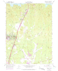
1957 Map of Project City
USGS Topo · Published 1975About this map
Project City and Central Valley anchor the western corridor of this mid-century survey, illustrating the expansion of settlements along the primary transport arteries north of Redding. The landscape is defined by the critical infrastructure of the era, where the Southern Pacific rail line and the nascent path of Interstate 5 navigate the varied terrain. Education and community hubs are prominently marked, including the original site of Shasta Junior College and local institutions like Bass Sch and Deer Creek Sch.
Find a feature on this map
47 named features on this map. Tap any name to fly to it.
Don’t see what you’re looking for? This feature index may not catch every label — zoom into the map to look around manually.
Map Details
Editions of this 1957 Project City Map
4 editions found
Other maps of this area

1890 · Red Bluff
USGS Topo · 1:250,000

1894 · Red Bluff
USGS Topo · 1:250,000

1901 · Redding
USGS Topo · 1:125,000

1944 · Redding
USGS Topo · 1:62,500

1946 · Lamoine
USGS Topo · 1:62,500

1946 · Redding
USGS Topo · 1:62,500

1949 · Bollibokka Mtn
USGS Topo · 1:62,500

1953 · Millville
USGS Topo · 1:62,500
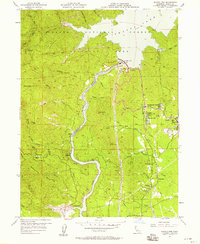
1956 · Shasta Dam
USGS Topo · 1:24,000
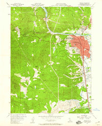
1957 · Redding
USGS Topo · 1:24,000