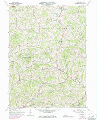
1964 Map of Prosperity
USGS Topo · Published 1989About this map
Tenmile Creek and its many tributaries, including Templeton Fork and Bates Fork, carve a complex landscape across this portion of Washington County. The map reveals a rural economy organized around small settlements like Prosperity, Van Buren, and Old Concord. Local history is preserved through numerous family and community landmarks, such as South Buffalo Cem, Fairview Cem, and Carroll Cem. Evidence of mid-century infrastructure appears in the Pumping Station near Crafts Creek and the Prosperity Township Sch. The northern edge includes recreation at Camp Adelawan and a Golf Course near Lagonda, while the central portion is dominated by the sprawling State Game Lands No 245, highlighting a transition from agricultural use to protected conservation and public land management in the 1960s and 1970s.
Find a feature on this map
43 named features on this map. Tap any name to fly to it.
Don’t see what you’re looking for? This feature index may not catch every label — zoom into the map to look around manually.
Map Details
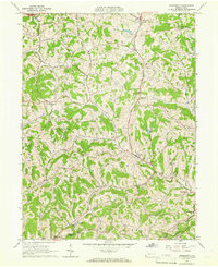
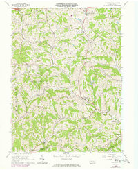
Editions of this 1964 Prosperity Map
Other maps of this area

1901 · Amity
USGS Topo · 1:62,500

1901 · Waynesburg
USGS Topo · 1:62,500

1904 · Amity
USGS Topo · 1:62,500

1904 · Waynesburg
USGS Topo · 1:62,500

1905 · Rogersville
USGS Topo · 1:62,500

1907 · Claysville
USGS Topo · 1:62,500

1949 · Clarksburg
USGS Topo · 1:250,000

1951 · Canton
USGS Topo · 1:250,000

1953 · Canton
USGS Topo · 1:250,000
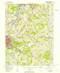
1953 · Washington East
USGS Topo · 1:24,000