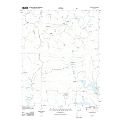
2012 Map of Protem
USGS Topo · Published 2012About this map
The southern Missouri hill country near the Arkansas border is defined by the winding waters of Bull Shoals Lake and its numerous feeding creeks. Rural settlements like Protem, Rueter, Nance, and Ocie anchor a landscape of deeply incised hollows and prominent ridges. Genealogists can find several family-named burial sites including Merritt Cemetery, Wolf Cemetery, and Dit Cemetery. The area’s aviation history is represented by a Landing Strip near Nance and the Nolands Point Seaplane Base on the lake's edge. This 2012 survey illustrates the relationship between the Ozark terrain and local landmarks like Blackjack Knob and Goetz Ridge. Water sources such as Schoolhouse Spring, Owens Spring, and Twin Springs reflect the karst topography of the region, where Big Creek and its many branches like West Fork Big Creek flow through named valleys like Bear Cave Hollow and Eslic Hollow.
Find a feature on this map
87 named features on this map. Tap any name to fly to it.
Don’t see what you’re looking for? This feature index may not catch every label — zoom into the map to look around manually.
Map Details
Editions of this 2012 Protem Map
This is the sole edition of this map. No revisions or reprints were ever made.
Other maps of this area

1893 · Yellville
USGS Topo · 1:125,000

1903 · Yellville
USGS Topo · 1:125,000

1905 · Yellville
USGS Topo · 1:125,000

1929 · Yellville
USGS Topo · 1:125,000

1936 · Thornfield
USGS Topo · 1:48,000

1943 · Protem
USGS Topo · 1:62,500

1943 · Thornfield
USGS Topo · 1:62,500

1945 · Harrison
USGS Topo · 1:250,000

1945 · Thornfield
USGS Topo · 1:62,500

1949 · Harrison
USGS Topo · 1:250,000