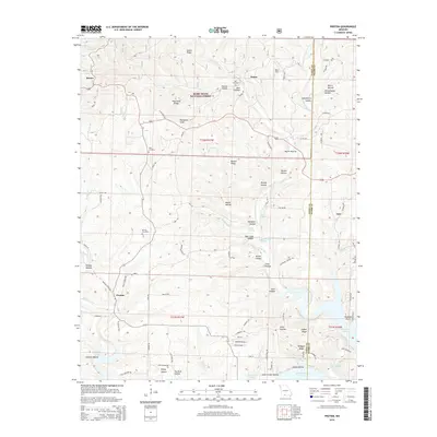
2015 Map of Protem
USGS Topo · Published 2015About this map
Rueter and Protem anchor this survey of the Ozark borderlands, where the steep hollows of Mark Twain National Forest meet the rising waters of Bull Shoals Lake. The landscape is defined by an intricate network of narrow valleys and high ridges, including Blackjack Knob and Goetz Ridge, which dictated the early settlement patterns and road placements. Local history is preserved in several family-named burial sites, such as Merritt Cemetery and Wolf Cemetery, situated along the ridgelines above the winding creek beds.
Find a feature on this map
99 named features on this map. Tap any name to fly to it.
Don’t see what you’re looking for? This feature index may not catch every label — zoom into the map to look around manually.
Map Details
Editions of this 2015 Protem Map
This is the sole edition of this map. No revisions or reprints were ever made.
Other maps of this area

1893 · Yellville
USGS Topo · 1:125,000

1903 · Yellville
USGS Topo · 1:125,000

1905 · Yellville
USGS Topo · 1:125,000

1929 · Yellville
USGS Topo · 1:125,000

1936 · Thornfield
USGS Topo · 1:48,000

1943 · Protem
USGS Topo · 1:62,500

1943 · Thornfield
USGS Topo · 1:62,500

1945 · Harrison
USGS Topo · 1:250,000

1945 · Thornfield
USGS Topo · 1:62,500

1949 · Harrison
USGS Topo · 1:250,000