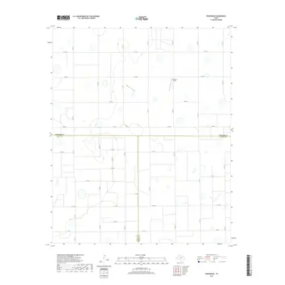
2019 Map of Providence
USGS Topo · Published 2019About this map
The High Plains intersection of Swisher, Hale, and Floyd Counties characterizes this 2019 survey. The landscape is defined by an orderly grid of county roads and farm-to-market routes that service the agricultural operations of the Texas Panhandle. Rock Draw provides a subtle natural variation in the otherwise flat terrain, winding through the northern portion of the quadrangle. The presence of Whitfield Airport suggests the continued importance of general aviation and aerial application in this remote farming region.
Find a feature on this map
28 named features on this map. Tap any name to fly to it.
Don’t see what you’re looking for? This feature index may not catch every label — zoom into the map to look around manually.
Map Details
Editions of this 2019 Providence Map
This is the sole edition of this map. No revisions or reprints were ever made.
Other maps of this area

1954 · Plainview
USGS Topo · 1:250,000

1958 · Plainview
USGS Topo · 1:250,000

1965 · Rock Creek
USGS Topo · 1:24,000

1965 · Silverton SW
USGS Topo · 1:24,000

1965 · Plainview
USGS Topo · 1:24,000

1966 · Sterley
USGS Topo · 1:24,000

1968 · Aiken
USGS Topo · 1:24,000

1969 · Kress East
USGS Topo · 1:24,000

1969 · Claytonville
USGS Topo · 1:24,000

1969 · Claytonville NW
USGS Topo · 1:24,000