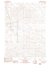
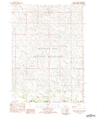
1982 Map of Provo
USGS Topo · Published 1982About this map
Provo and the nearby community of Igloo sit at the intersection of ranching life and mid-century logistical infrastructure in the southwestern corner of South Dakota. The landscape is defined by the open expanses of the Buffalo Gap National Grassland and the Cottonwood Plains Valley, where drainage systems like Coal Creek and Softwater Creek carve through the terrain. The presence of the Provo National Guard Camp and a dedicated Landing Strip underscores the area's strategic utility during the late 20th century.
Find a feature on this map
15 named features on this map. Tap any name to fly to it.
Don’t see what you’re looking for? This feature index may not catch every label — zoom into the map to look around manually.
Map Details
Editions of this 1982 Provo Map
This is the sole edition of this map. No revisions or reprints were ever made.
Other maps of this area

1902 · Edgemont
USGS Topo · 1:125,000

1950 · Edgemont
USGS Topo · 1:24,000

1950 · Edgemont SW
USGS Topo · 1:24,000

1950 · Rumford
USGS Topo · 1:24,000

1950 · Flint Hill
USGS Topo · 1:24,000

1955 · Hot Springs
USGS Topo · 1:250,000
1982 · Crowe Dam
USGS Topo · 1:25,000
1982 · Ardmore
USGS Topo · 1:25,000
1982 · Phister Ranch
USGS Topo · 1:25,000
1982 · Wallace Ranch
USGS Topo · 1:25,000