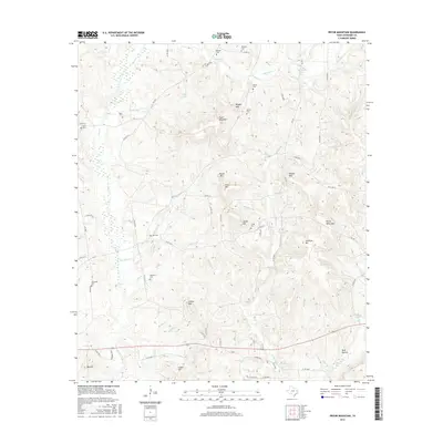
2016 Map of Pryor Mountain
USGS Topo · Published 2016About this map
Pryor Mountain and its surrounding heights dominate this part of Cherokee County, defining a landscape of complex ridges and narrow creek bottoms. The area is dotted with numerous family and community burial grounds, such as Russell Cem, Nelson Cem, and Holcomb Cem, which offer significant touchpoints for local genealogical research. These sites are linked by a network of county roads like Co RD 2210 and Co RD 2311, which follow the contours of the land between Pryor Lake and the various tributaries feeding into Box Cr. The terrain is marked by a series of named elevations including Reagan Mtn, Smith Mtn, and Sunshine Mtn, indicating a region where historical settlement patterns were heavily influenced by the local topography. Water sources like McCann Spring and numerous small branches such as Walnut Br and Newton Br further illustrate the rural character of this East Texas territory.
Find a feature on this map
83 named features on this map. Tap any name to fly to it.
Don’t see what you’re looking for? This feature index may not catch every label — zoom into the map to look around manually.
Map Details
Editions of this 2016 Pryor Mountain Map
This is the sole edition of this map. No revisions or reprints were ever made.
Other maps of this area

1943 · Rusk
USGS Topo · 1:62,500

1945 · Rusk
USGS Topo · 1:62,500

1946 · Alto
USGS Topo · 1:62,500

1951 · Jacksonville
USGS Topo · 1:62,500

1952 · Slocum
USGS Topo · 1:62,500

1953 · Palestine
USGS Topo · 1:250,000

1957 · Palestine
USGS Topo · 1:250,000
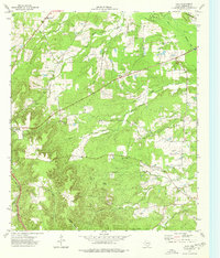
1973 · Atoy
USGS Topo · 1:24,000
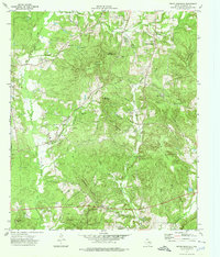
1973 · Pryor Mountain
USGS Topo · 1:24,000
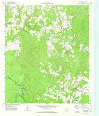
1973 · Forest
USGS Topo · 1:24,000