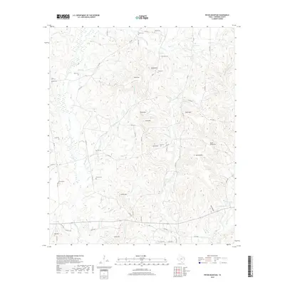
2019 Map of Pryor Mountain
USGS Topo · Published 2019About this map
Pryor Mountain and its surrounding peaks define this portion of Cherokee County, where the landscape is etched by a dense network of seasonal and perennial streams. Small family burial grounds are a primary feature of the local settlement pattern, with sites like Russell Cem, Berry Cem, and Hendrick Cem scattered along the winding county road network. The drainage system is particularly complex here, with One Eye Creek, White Oak Creek, and Miller Branch carving through the elevation.
Find a feature on this map
83 named features on this map. Tap any name to fly to it.
Don’t see what you’re looking for? This feature index may not catch every label — zoom into the map to look around manually.
Map Details
Editions of this 2019 Pryor Mountain Map
This is the sole edition of this map. No revisions or reprints were ever made.
Other maps of this area

1943 · Rusk
USGS Topo · 1:62,500

1945 · Rusk
USGS Topo · 1:62,500

1946 · Alto
USGS Topo · 1:62,500

1951 · Jacksonville
USGS Topo · 1:62,500

1952 · Slocum
USGS Topo · 1:62,500

1953 · Palestine
USGS Topo · 1:250,000

1957 · Palestine
USGS Topo · 1:250,000
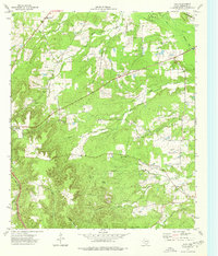
1973 · Atoy
USGS Topo · 1:24,000
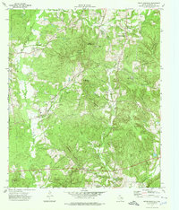
1973 · Pryor Mountain
USGS Topo · 1:24,000
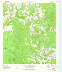
1973 · Forest
USGS Topo · 1:24,000