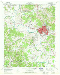
1966 Map of Pulaski
USGS Topo · Published 1968About this map
The town of Pulaski serves as the focal point for this mid-1960s survey, showing a landscape defined by traditional Southern agricultural patterns and emerging mid-century residential growth. The industrial and transport heart of the region is anchored by the Louisville and Nashville Railroad and the Davy Crockett Highway, while the town center features Martin College and the local courthouse.
Find a feature on this map
107 named features on this map. Tap any name to fly to it.
Don’t see what you’re looking for? This feature index may not catch every label — zoom into the map to look around manually.
Map Details
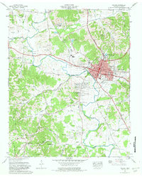
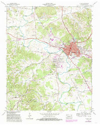
Editions of this 1966 Pulaski Map
3 editions found
Other maps of this area

1936 · Milky Way
USGS Topo · 1:24,000

1936 · Aspen Hill
USGS Topo · 1:24,000

1936 · Campbellsville
USGS Topo · 1:24,000

1936 · Brick Church
USGS Topo · 1:24,000

1936 · Pulaski
USGS Topo · 1:24,000

1936 · Bodenham
USGS Topo · 1:24,000

1936 · Appleton
USGS Topo · 1:24,000

1936 · Tarpley
USGS Topo · 1:24,000

1936 · Elkton
USGS Topo · 1:24,000

1946 · Brick Church
USGS Topo · 1:24,000