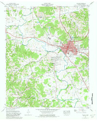
1966 Map of Pulaski
USGS Topo · Published 1981About this map
Pulaski serves as the regional hub of Giles County, centered on its traditional courthouse square and the campus of Martin College. By the mid-1960s, the town was expanding through several new residential developments such as Rebel Acres, Glendale Estates, and Lancelot Acres. The landscape is defined by the winding course of Richland Creek, which passes through the center of town and is flanked by a series of hollows named for local families, including Reynolds Hollow and Donahue Hollow.
Find a feature on this map
96 named features on this map. Tap any name to fly to it.
Don’t see what you’re looking for? This feature index may not catch every label — zoom into the map to look around manually.
Map Details
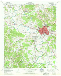
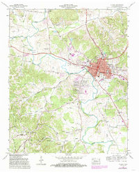
Editions of this 1966 Pulaski Map
3 editions found
Other maps of this area

1936 · Milky Way
USGS Topo · 1:24,000

1936 · Aspen Hill
USGS Topo · 1:24,000

1936 · Campbellsville
USGS Topo · 1:24,000

1936 · Brick Church
USGS Topo · 1:24,000

1936 · Pulaski
USGS Topo · 1:24,000

1936 · Bodenham
USGS Topo · 1:24,000

1936 · Appleton
USGS Topo · 1:24,000

1936 · Tarpley
USGS Topo · 1:24,000

1936 · Elkton
USGS Topo · 1:24,000

1946 · Brick Church
USGS Topo · 1:24,000