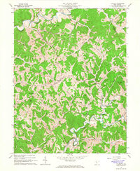
1964 Map of Pullman
USGS Topo · Published 1966About this map
The rugged terrain of the Ritchie and Doddridge County border is defined here by the winding forks of the Hughes River. In the mid-1960s, the rural community of Pullman serves as a central hub for the surrounding ridges, while Berea sits to the south at the confluence of the South Fork Hughes River and Otterslide Creek. The landscape is a network of narrow hollows and high points like King Knob and Mt Zion, where local life is anchored by country churches including Mt Pisgah Ch and White Oak Ch.
Find a feature on this map
64 named features on this map. Tap any name to fly to it.
Don’t see what you’re looking for? This feature index may not catch every label — zoom into the map to look around manually.
Map Details
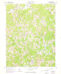
Editions of this 1964 Pullman Map
2 editions found
Other maps of this area

1905 · West Union
USGS Topo · 1:62,500

1906 · Saint Marys
USGS Topo · 1:62,500

1906 · Holbrook
USGS Topo · 1:62,500

1907 · Harrisville
USGS Topo · 1:62,500

1924 · St Marys
USGS Topo · 1:62,500

1924 · Harrisville
USGS Topo · 1:62,500

1924 · West Union
USGS Topo · 1:62,500

1924 · Holbrook
USGS Topo · 1:62,500

1926 · Harrisville
USGS Topo · 1:62,500

1926 · Holbrook
USGS Topo · 1:62,500