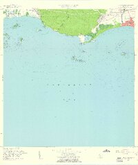
1958 Map of Punta Chucara
USGS Topo · Published 1961About this map
The coastal landscape of southern Puerto Rico between Peñuelas and Ponce is defined here by the industrial and maritime infrastructure of the late 1950s. The shoreline around the Bahia de Tallaboa and Punta Cuchara shows a mix of rural barrios and emerging coastal development, including the Escuela Segunda Unidad de Encarnación and the historic Hacienda Matilde. In the eastern portion of the map, the growth of Playa de Ponce is evident, characterized by a dense grid of Cañas Urbano and prominent landmarks like the Faro and radio towers for Antena De Radio (Wpab) and Wiso.
Find a feature on this map
38 named features on this map. Tap any name to fly to it.
Don’t see what you’re looking for? This feature index may not catch every label — zoom into the map to look around manually.
Map Details
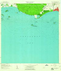
Editions of this 1958 Punta Chucara Map
2 editions found
Other maps of this area

1945 · Playa De Ponce
USGS Topo · 1:30,000

1945 · Ponce
USGS Topo · 1:30,000

1946 · Punta Cuchara
USGS Topo · 1:30,000

1946 · Yauco
USGS Topo · 1:30,000

1946 · Punta Verraco
USGS Topo · 1:30,000

1946 · Penuelas
USGS Topo · 1:30,000

1947 · Punta Gughara NE
USGS Topo · 1:10,000
1947 · Yauco SE
USGS Topo · 1:10,000

1947 · Ponce SO
USGS Topo · 1:10,000
1947 · Punta Verraco NE
USGS Topo · 1:10,000