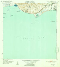
1952 Map of Punta Cuchara
USGS Topo · Published 1952About this map
Porto Rico American Railroad tracks trace the southern coast of Puerto Rico in this mid-century survey, connecting the sugar and shipping interests of the Ponce region. The landscape transition from the industrial and residential core of Playa de Ponce to the west reveals a mix of agricultural and maritime infrastructure, notably at Hacienda Matilde and the Lechos de Evaporacion de Sal near the Bahia de Tallaboa. Inland, the mountainous terrain of Encarnacion meets the sea at the distinctive Peñon de Ponce, while several offshore islands including Cayo Parguera and Cayo Ratones dot the Caribbean Sea. The map documents the boundary between the Municipio de Peñuelas and Municipio de Ponce, providing a detailed view of the coastal topography before the era of intensive modern development.
Find a feature on this map
29 named features on this map. Tap any name to fly to it.
Don’t see what you’re looking for? This feature index may not catch every label — zoom into the map to look around manually.
Map Details
Editions of this 1952 Punta Cuchara Map
2 editions found
Other maps of this area

1945 · Playa De Ponce
USGS Topo · 1:30,000

1945 · Ponce
USGS Topo · 1:30,000

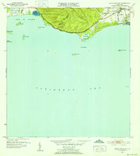
1946 · Punta Cuchara
USGS Topo · 1:30,000

1946 · Yauco
USGS Topo · 1:30,000

1946 · Punta Verraco
USGS Topo · 1:30,000

1946 · Penuelas
USGS Topo · 1:30,000

1947 · Punta Gughara NE
USGS Topo · 1:10,000
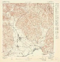
1947 · Yauco SE
USGS Topo · 1:10,000

1947 · Ponce SO
USGS Topo · 1:10,000
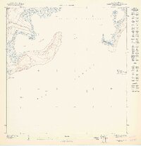
1947 · Punta Verraco NE
USGS Topo · 1:10,000