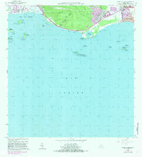
1962 Map of Punta Cucharas
USGS Topo · Published 1982About this map
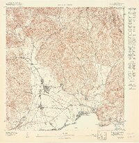
The coastal landscapes of the Municipio de Ponce and Municipio de Peñuelas reveal a mix of industrial infrastructure and historical agricultural sites during the mid-to-late twentieth century. The industrial and maritime presence is anchored by facilities at Playa de Ponce and the nearby Hacienda Matilde, while communication towers like the Antena de Radio (WISO) and Antena de Radio (WPAB) indicate the area's development.
Find a feature on this map
39 named features on this map. Tap any name to fly to it.
Don’t see what you’re looking for? This feature index may not catch every label — zoom into the map to look around manually.
Map Details
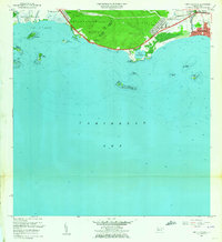
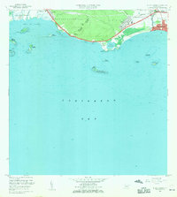
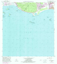
Editions of this 1962 Punta Cucharas Map
4 editions found
Other maps of this area

1945 · Playa De Ponce
USGS Topo · 1:30,000

1945 · Ponce
USGS Topo · 1:30,000

1946 · Punta Cuchara
USGS Topo · 1:30,000

1946 · Yauco
USGS Topo · 1:30,000

1946 · Punta Verraco
USGS Topo · 1:30,000

1946 · Penuelas
USGS Topo · 1:30,000

1947 · Punta Gughara NE
USGS Topo · 1:10,000
1947 · Yauco SE
USGS Topo · 1:10,000

1947 · Ponce SO
USGS Topo · 1:10,000
1947 · Punta Verraco NE
USGS Topo · 1:10,000