
1956 Map of Punta Gorda SE
USGS Topo · Published 1957About this map
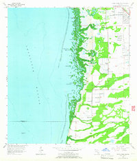
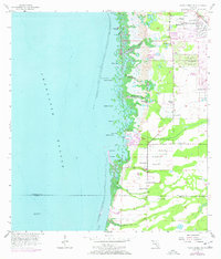
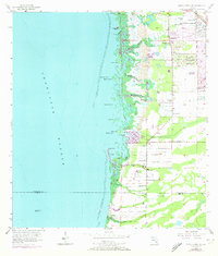
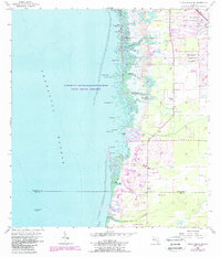
Charlotte Harbor dominates the western half of this mid-century survey, its coastline defined by a dense labyrinth of mangrove islands and tidal keys. From the prehistoric Cockroach Mound in the north down to Roberts Island, the shoreline remains largely undeveloped, providing a view of the natural hydrology before extensive modern dredging. Inland, the landscape is punctuated by numerous flowing wells and borrow pits, particularly near the Atlantic Coast Line railroad and U.S. 41 corridors. The small community of South Punta Gorda Heights represents the primary residential footprint of the era. Waterways like Whidden Branch, Winegourd Creek, and Yucca Pen Creek drain the low-lying interior toward the harbor, while John Quiet Lakes and various named keys like Silcox Key and Blacks Island offer specific points of interest for navigating this intricate coastal environment.
Find a feature on this map
40 named features on this map. Tap any name to fly to it.
Don’t see what you’re looking for? This feature index may not catch every label — zoom into the map to look around manually.
Map Details
Editions of this 1956 Punta Gorda SE Map
5 editions found
Other maps of this area

1956 · Cleveland
USGS Topo · 1:24,000

1956 · West Palm Beach
USGS Topo · 1:250,000

1956 · Tampa
USGS Topo · 1:250,000

1956 · Charlotte Harbor
USGS Topo · 1:250,000

1957 · West Palm Beach
USGS Topo · 1:250,000

1957 · El Jobean
USGS Topo · 1:24,000

1957 · Punta Gorda SW
USGS Topo · 1:24,000

1957 · Punta Gorda
USGS Topo · 1:24,000

1957 · Gilchrist
USGS Topo · 1:24,000

1958 · West Palm Beach
USGS Topo · 1:250,000