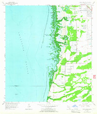
1956 Map of Punta Gorda SE
USGS Topo · Published 1965About this map
The eastern shores of Charlotte Harbor dominate this mid-century coastal survey, revealing a landscape defined by intricate mangrove networks and tidal creeks. The settlement of South Punta Gorda Heights appears in the northeast, positioned along the corridor of Route 41. This era shows a coastal economy reliant on maritime navigation, marked by the offshore Charlotte Harbor Light No 2 and a Beacon near the shoreline.
Find a feature on this map
28 named features on this map. Tap any name to fly to it.
Don’t see what you’re looking for? This feature index may not catch every label — zoom into the map to look around manually.
Map Details
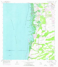
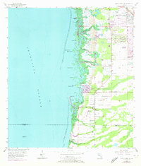
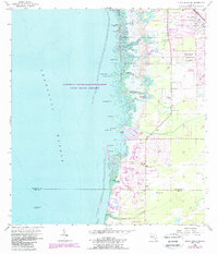
Editions of this 1956 Punta Gorda SE Map
5 editions found
Other maps of this area

1956 · Cleveland
USGS Topo · 1:24,000

1956 · Punta Gorda SE
USGS Topo · 1:24,000

1956 · West Palm Beach
USGS Topo · 1:250,000

1956 · Tampa
USGS Topo · 1:250,000

1956 · Charlotte Harbor
USGS Topo · 1:250,000

1957 · West Palm Beach
USGS Topo · 1:250,000

1957 · El Jobean
USGS Topo · 1:24,000

1957 · Punta Gorda SW
USGS Topo · 1:24,000

1957 · Punta Gorda
USGS Topo · 1:24,000

1957 · Gilchrist
USGS Topo · 1:24,000