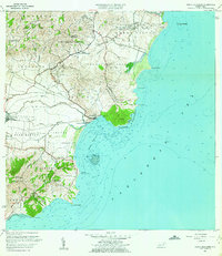
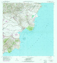
1960 Map of Punta Guayanes
USGS Topo · Published 1962About this map
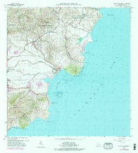
The industrial and agricultural landscape of southeastern Puerto Rico is defined by Central Roig and the extensive sugar operations of Eastern Sugar Associates during the early 1960s. This survey illustrates a coastal economy centered on the fertile Valle de Juan Martín, where the Río Guayanés and Río del Ingenio converge toward the coast. Coastal landmarks such as Playa de Guayanés and the lighthouse-topped Morro de Humacao mark the transition from the interior hills of Cuchilla de Panduras to the Caribbean Sea. Educational hubs like Escuela Eugenio María de Hostos and Escuela Segunda Unidad Luciano Ríos provide valuable reference points for local history, showing the distribution of rural communities across barrios like Aguacate and Candelero Abajo before the era of modern coastal development.
Find a feature on this map
51 named features on this map. Tap any name to fly to it.
Don’t see what you’re looking for? This feature index may not catch every label — zoom into the map to look around manually.
Map Details
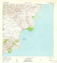
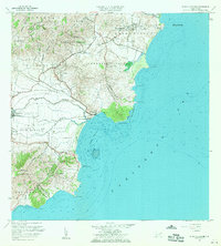
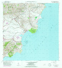
Editions of this 1960 Punta Guayanes Map
6 editions found
Other maps of this area

1945 · Punta Tuna
USGS Topo · 1:30,000

1946 · Humacao
USGS Topo · 1:30,000

1946 · Punta Guayanes
USGS Topo · 1:30,000

1946 · Juncos
USGS Topo · 1:30,000

1946 · Yabucoa
USGS Topo · 1:30,000
1947 · Humacao SO
USGS Topo · 1:10,000
1947 · Punta Guayanes NE
USGS Topo · 1:10,000
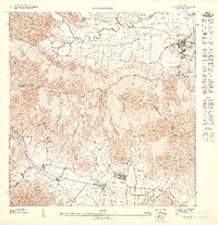
1947 · Yabucoa SE
USGS Topo · 1:10,000
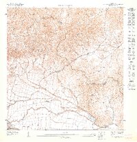
1947 · Punta Guayanes NO
USGS Topo · 1:10,000
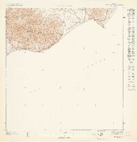
1947 · Punta Tuna NE
USGS Topo · 1:10,000
Featured Places
- Urbanización Arboleda, Humacao
- Mar y Palmas, Humacao
- Palladio, Humacao
- Sector Soto Monte, Yabucoa
- Sector El Guano, Yabucoa