Loading...
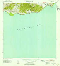
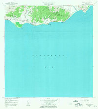
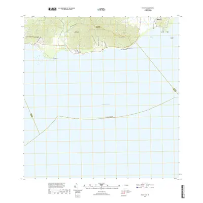
Loading map...1945 Map of Punta Tuna
USGS Topo · Published 1945About this map
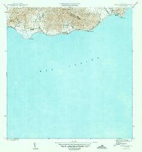
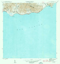
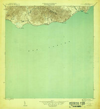
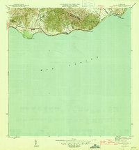
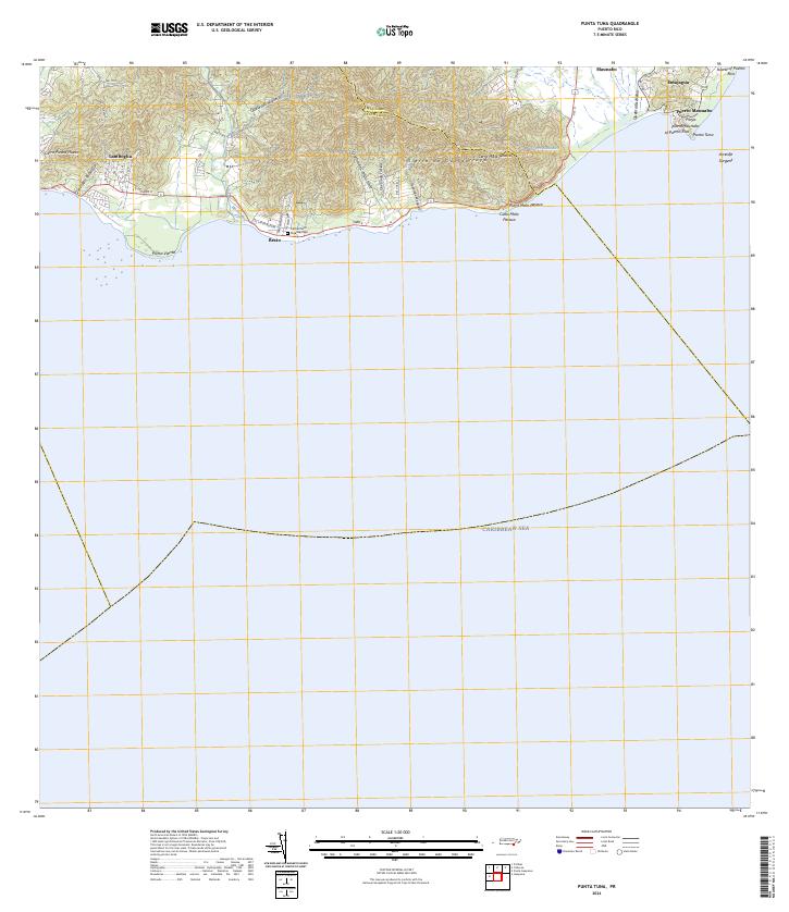
Sierra de Guardarraya dominates the coastal topography of southeast Puerto Rico, where steep ridges meet the Mar Caribe. This 1943 survey, published as an edition of 1945, details a landscape defined by the intersection of mountain watersheds and small agricultural settlements. Notable coastal landmarks include the Faro lighthouse at Pta Tuna and the prominent headland of Cabo Mala Pascua.
Find a feature on this map
27 named features on this map. Tap any name to fly to it.
Don’t see what you’re looking for? This feature index may not catch every label — zoom into the map to look around manually.
Map Details
Date Portrayed1945
Date Published1945
PublisherU.S. Geological Survey
Map TypeTopographic
Scale1:30,000
Physical Dimensions19.7 x 21.1 inches
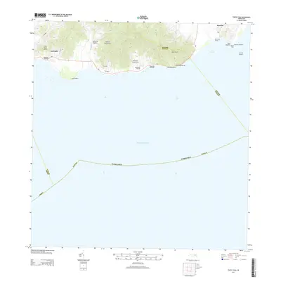
Editions of this 1945 Punta Tuna Map
4 editions found
Historical Maps of Barro Blanco Through Time
7 maps found
Featured Locations
- Maunabo
- Sector Higuero, Patillas
- Sector María Marisca, Patillas
- Barro Blanco, Patillas
- Sector Bordaleza, Maunabo
Source Details
SourceU.S. Geological Survey
CopyrightPublic Domain