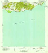
1952 Map of Punta Tuna
USGS Topo · Published 1953About this map
The Sierra Palo Seco and the high ridges of Guardarraya define the coastal geography of southeastern Puerto Rico, where steep hills descend sharply to the Caribbean Sea. The landscape in the early 1950s is a mix of agricultural history and rural development, featuring the Hacienda San Isidro and the Escuela Segunda Unidad de Guardarraya. The shoreline is marked by prominent navigational landmarks, most notably the Faro lighthouse at Pta Tuna and the rocky protrusion of Cabo Mala Pascua. Along the coast, small clusters of settlement like Barriada Lanboglia sit near the mouths of numerous watercourses, including the Río Maunabo and Río Jacaboa. This survey reflects the region before modern industrial expansion, capturing the network of barrios and local drainages such as Quebrada Higüera and Quebrada Arenas that shaped the community's connection to the land and sea.
Find a feature on this map
25 named features on this map. Tap any name to fly to it.
Don’t see what you’re looking for? This feature index may not catch every label — zoom into the map to look around manually.
Map Details
Editions of this 1952 Punta Tuna Map
2 editions found
Other maps of this area

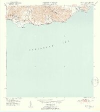
1945 · Punta Tuna
USGS Topo · 1:30,000

1946 · Patillas
USGS Topo · 1:30,000

1946 · Punta Guayanes
USGS Topo · 1:30,000

1946 · Yabucoa
USGS Topo · 1:30,000

1946 · Guayama
USGS Topo · 1:30,000

1947 · Yabucoa SO
USGS Topo · 1:10,000
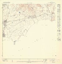
1947 · Guayama NE
USGS Topo · 1:10,000
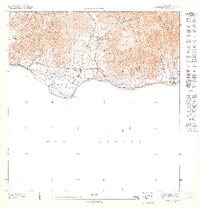
1947 · Punta Tuna NO
USGS Topo · 1:10,000
1947 · Yabucoa SE
USGS Topo · 1:10,000
1947 · Patillas SE
USGS Topo · 1:10,000
Featured Places
- Barro Blanco, Patillas
- Sector María Marisca, Patillas
- Sector Bordaleza, Maunabo
- Sector Higuero, Patillas
- Maunabo