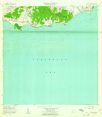
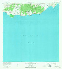
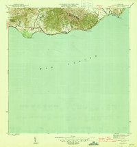
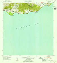
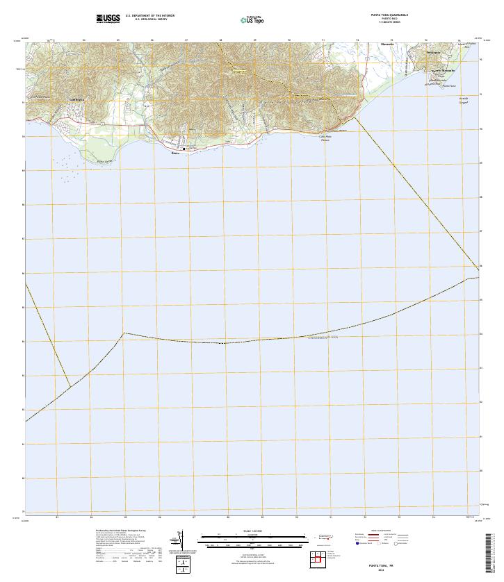
1960 Map of Punta Tuna
USGS Topo · Published 1961About this map
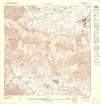
Sierra de Guardarraya dominates the coastal landscape of this 1960 survey, dropping sharply toward the Caribbean Sea. Along the shoreline, the historic Faro Punta Tuna stands at the eastern edge near Puerto Maunabo, marking a point where the mountains meet the Arrecife Sargent coral system. Settlement is concentrated in small clusters such as Recio, Lamboglia, and the Hacienda San Isidro, with several quebradas including Quebrada Jacaboa and Quebrada Libre draining the high ridges. The map illustrates the rural character of the area just before significant modern development, showing the Escuela Segunda Unidad and the boundary between the Municipio de Maunabo and Municipio de Patillas. The topography reveals a transition from the high peaks of Cerro Mala Pascua to the low-lying valley of the Rio Maunabo.
Find a feature on this map
30 named features on this map. Tap any name to fly to it.
Don’t see what you’re looking for? This feature index may not catch every label — zoom into the map to look around manually.
Map Details
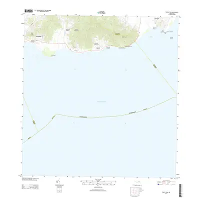
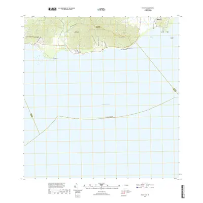
Editions of this 1960 Punta Tuna Map
2 editions found
Historical Maps of Barro Blanco Through Time
7 maps found
Featured Locations
- Maunabo
- Sector Higuero, Patillas
- Sector María Marisca, Patillas
- Barro Blanco, Patillas
- Sector Bordaleza, Maunabo