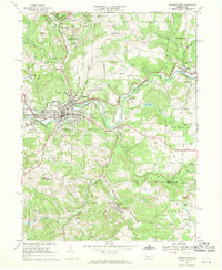
1968 Map of Punxsutawney
USGS Topo · Published 1970About this map
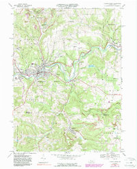
Punxsutawney is the center of a dense industrial and rail corridor in the late 1960s, where the Mahoning Creek valley serves as a conduit for the Penn Central and Baltimore and Ohio railroads. The map records the heavy footprint of the bituminous coal industry, with extensive strip mines and the larger Adrian Mines complex dominating the north. South of the main borough, the landscape shifts toward smaller settlements like Rossiter and Juneau, while landmarks like Gobblers Knob anchor the local geography. Local history is deeply etched into the hillsides through numerous denominational sites, including SS Peter and Paul Cem and St Adrian Cem. The intersection of industrial utility and community life is visible in the proximity of the Golf Course to the rail yards and the presence of Cloe Lake east of the city.
Find a feature on this map
64 named features on this map. Tap any name to fly to it.
Don’t see what you’re looking for? This feature index may not catch every label — zoom into the map to look around manually.
Map Details
Editions of this 1968 Punxsutawney Map
6 editions found
Other maps of this area

1906 · Punxsutawney
USGS Topo · 1:62,500

1909 · Smicksburg
USGS Topo · 1:62,500

1922 · Du Bois
USGS Topo · 1:62,500

1924 · Du Bois
USGS Topo · 1:62,500

1924 · Brookville
USGS Topo · 1:62,500

1926 · Brookville
USGS Topo · 1:62,500

1938 · Smicksburg
USGS Topo · 1:62,500

1939 · Smicksburg
USGS Topo · 1:62,500

1939 · Punxsutawney
USGS Topo · 1:62,500

1942 · Punxsutawney
USGS Topo · 1:62,500
Featured Places
- Punxsutawney, PA
- Winslow, Gaskill Township
- Big Run, PA
- Gaskill Township, PA
- Crawfordtown, Young Township