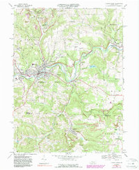
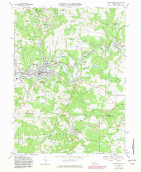
1968 Map of Punxsutawney
USGS Topo · Published 1989About this map
Punxsutawney serves as the focal point of this late 1960s study, situated at the confluence of Mahoning Creek and Elk Run. The landscape is heavily defined by its industrial history, particularly the extensive strip mines and the Adrian Mines complex to the north. These operations are interconnected by a dense network of rail infrastructure, including the Baltimore and Ohio and Conrail lines, alongside an old railroad grade near Crawfordtown. Outside the main borough, smaller communities like Rossiter, Anita, and Walston dot the hills, many established near these mining sites.
Find a feature on this map
66 named features on this map. Tap any name to fly to it.
Don’t see what you’re looking for? This feature index may not catch every label — zoom into the map to look around manually.
Map Details
Editions of this 1968 Punxsutawney Map
6 editions found
Other maps of this area

1906 · Punxsutawney
USGS Topo · 1:62,500

1909 · Smicksburg
USGS Topo · 1:62,500

1922 · Du Bois
USGS Topo · 1:62,500

1924 · Du Bois
USGS Topo · 1:62,500

1924 · Brookville
USGS Topo · 1:62,500

1926 · Brookville
USGS Topo · 1:62,500

1938 · Smicksburg
USGS Topo · 1:62,500

1939 · Smicksburg
USGS Topo · 1:62,500

1939 · Punxsutawney
USGS Topo · 1:62,500

1942 · Punxsutawney
USGS Topo · 1:62,500
Featured Places
- Punxsutawney, PA
- Winslow, Gaskill Township
- Big Run, PA
- Gaskill Township, PA
- Crawfordtown, Young Township