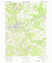
1968 Map of Punxsutawney
USGS Topo · Published 1975About this map
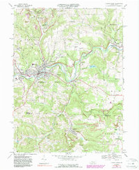
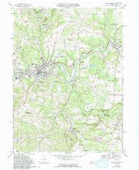
Punxsutawney serves as the industrial and social heart of this 1968 landscape, situated where Mahoning Creek flows through a valley defined by the Penn Central and Baltimore and Ohio railroads. The map documents an era of transition, where extensive strip mines surround older mining hamlets like Adrian Mines, Walston, and Anita. Southeast of the borough, the famous Gobblers Knob overlooks the Canoe Creek valley, while to the east, Cloe Lake and the village of Big Run reflect the persistent small-town character of the region.
Find a feature on this map
69 named features on this map. Tap any name to fly to it.
Don’t see what you’re looking for? This feature index may not catch every label — zoom into the map to look around manually.
Map Details
Editions of this 1968 Punxsutawney Map
6 editions found
Other maps of this area

1906 · Punxsutawney
USGS Topo · 1:62,500

1909 · Smicksburg
USGS Topo · 1:62,500

1922 · Du Bois
USGS Topo · 1:62,500

1924 · Du Bois
USGS Topo · 1:62,500

1924 · Brookville
USGS Topo · 1:62,500

1926 · Brookville
USGS Topo · 1:62,500

1938 · Smicksburg
USGS Topo · 1:62,500

1939 · Smicksburg
USGS Topo · 1:62,500

1939 · Punxsutawney
USGS Topo · 1:62,500

1942 · Punxsutawney
USGS Topo · 1:62,500
Featured Places
- Punxsutawney, PA
- Winslow, Gaskill Township
- Big Run, PA
- Gaskill Township, PA
- Crawfordtown, Young Township