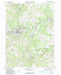
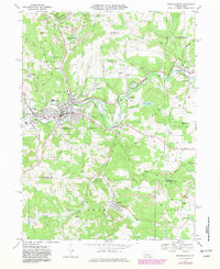
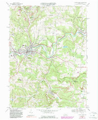
1968 Map of Punxsutawney
USGS Topo · Published 1994About this map
Mahoning Creek winds through the heart of this Jefferson County landscape, anchoring a series of coal-era settlements including Punxsutawney, Walston, and Rossiter. The map documents a territory defined by resource extraction and early transport, where numerous Strip Mine operations and the Adrian Mines are interspersed with residential clusters and local institutions. Significant genealogical markers like Circle Hill Cem and SS Peter and Paul Cem are clearly noted, along with the landmark heights of Gobblers Knob. The transport network of the late 1960s is preserved here, featuring the B & O Railroad alongside an Old Railroad Grade that speaks to earlier industrial movements. From the Punxsutawney Municipal Airport to the quieter reaches of Cloe Lake, the sheet captures a multifaceted portrait of central Pennsylvania's industrial and community life.
Find a feature on this map
61 named features on this map. Tap any name to fly to it.
Don’t see what you’re looking for? This feature index may not catch every label — zoom into the map to look around manually.
Map Details
Editions of this 1968 Punxsutawney Map
6 editions found
Other maps of this area

1906 · Punxsutawney
USGS Topo · 1:62,500

1909 · Smicksburg
USGS Topo · 1:62,500

1922 · Du Bois
USGS Topo · 1:62,500

1924 · Du Bois
USGS Topo · 1:62,500

1924 · Brookville
USGS Topo · 1:62,500

1926 · Brookville
USGS Topo · 1:62,500

1938 · Smicksburg
USGS Topo · 1:62,500

1939 · Smicksburg
USGS Topo · 1:62,500

1939 · Punxsutawney
USGS Topo · 1:62,500

1942 · Punxsutawney
USGS Topo · 1:62,500
Featured Places
- Punxsutawney, PA
- Winslow, Gaskill Township
- Big Run, PA
- Gaskill Township, PA
- Crawfordtown, Young Township