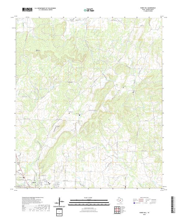
2022 Map of Purdy Hill
USGS Topo · Published 2022About this map
The Mason Mountains provide a dramatic backdrop for this portion of the Texas Hill Country, where cattle ranching and private aviation define the modern landscape. In the southern reach of the sheet, the town of Mason serves as the focal point for a region deeply rooted in family heritage, as evidenced by a high density of small burial grounds. Researchers can trace local lineage through the Old Gooch Cem and New Gooch Cem, as well as the Behrens Cem and Ellison Cem situated further north. The terrain is carved by numerous seasonal drainages including Little Willow Cr and Comanche Cr, which feed into the larger water systems of the county. Remote airfields like the Polk Ranch Airport and Bar Triangle Airport emphasize the vast distances between these rural Texas homesteads.
Find a feature on this map
71 named features on this map. Tap any name to fly to it.
Don’t see what you’re looking for? This feature index may not catch every label — zoom into the map to look around manually.
Map Details
Editions of this 2022 Purdy Hill Map
This is the sole edition of this map. No revisions or reprints were ever made.
Other maps of this area

1887 · Mason
USGS Topo · 1:125,000

1894 · Mason
USGS Topo · 1:125,000

1954 · Llano
USGS Topo · 1:250,000

1955 · Llano
USGS Topo · 1:250,000

1956 · Llano
USGS Topo · 1:250,000

1962 · Purdy Hill
USGS Topo · 1:24,000
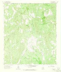
1962 · Fly Gap
USGS Topo · 1:24,000
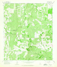
1962 · Fredonia
USGS Topo · 1:24,000

1963 · Spy Rock
USGS Topo · 1:24,000
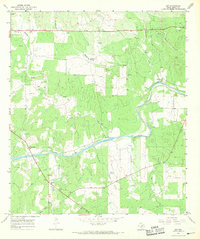
1967 · Art
USGS Topo · 1:24,000