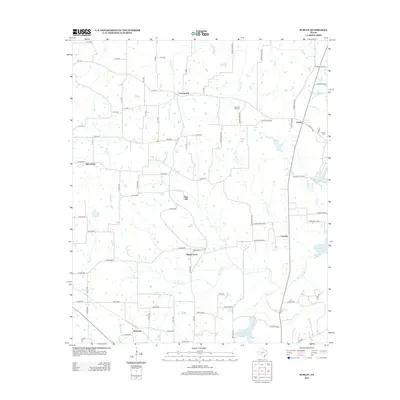
2013 Map of Purley
USGS Topo · Published 2013About this map
Greenwood and Purley anchor this rural landscape in East Texas, where the topography is defined by the extensive drainage systems of Big Cypress Creek and Little Cypress Creek. The map documents a network of small settlements such as Winterfield, Pine Hill, and Harmony, which are connected by a web of county roads and farm-to-market routes like FM-900. The southern reaches of the area show the influence of water management and recreation with the presence of Lake Cypress Springs and Lake Franklin. For those researching local history, the locations of Pleasant Hill Cemetery and Liberty Cemetery provide vital genealogical markers. The settlement at Morris Grove and the small community of Cypress further illustrate the dispersed, agrarian residential pattern that has long characterized this portion of Hopkins County.
Find a feature on this map
83 named features on this map. Tap any name to fly to it.
Don’t see what you’re looking for? This feature index may not catch every label — zoom into the map to look around manually.
Map Details
Editions of this 2013 Purley Map
This is the sole edition of this map. No revisions or reprints were ever made.
Other maps of this area

1953 · Texarkana
USGS Topo · 1:250,000

1956 · Texarkana
USGS Topo · 1:250,000

1956 · Tyler
USGS Topo · 1:250,000

1960 · Winnsboro
USGS Topo · 1:24,000

1960 · Newsome
USGS Topo · 1:24,000

1960 · Pleasant Grove
USGS Topo · 1:24,000

1964 · Mount Vernon
USGS Topo · 1:24,000

1964 · Saltillo
USGS Topo · 1:24,000

1964 · Como
USGS Topo · 1:24,000

1964 · Purley
USGS Topo · 1:24,000